Do you have any questions? Would you like to suggest a new route? write to us or call: 600 990 181. We will be happy to answer your questions and suggestions.
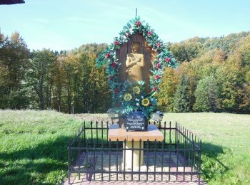
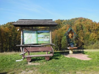
An attractive 9.2km loop marked with black signs. We leave Polańczyk and walk along the pavement to Myczków. We pass the church, the Museum of the Boyko people and walk as far as the end of the pavement. We reach a roadside shrine where we turn left following the route's signs. Ahead of us a kilometre climb to the summit of Kiczera (596 m. a. s. l.). We walk along a forest road following the route's signs and on the sixth kilometre of the route, next to the pulse measurement point, join the red route again. Walking on along a dirt road we walk round Kabajka (606 m. a. s. l.) and reach the first buildings of Polańczyk. We walk down along Zdrojowa Street to the centre of Polańczyk, where we finish our walk. The route is aimed at fit people.


