Do you have any questions? Would you like to suggest a new route? write to us or call: 600 990 181. We will be happy to answer your questions and suggestions.
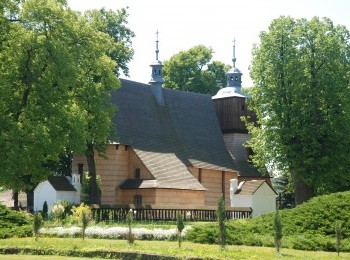
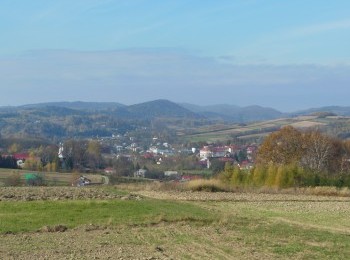
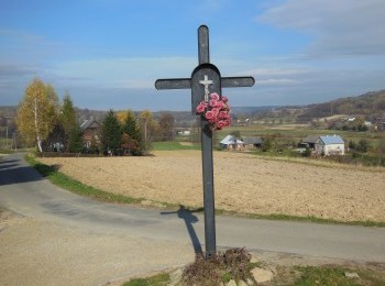
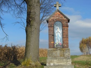
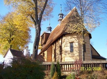
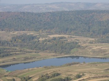
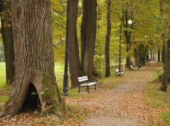
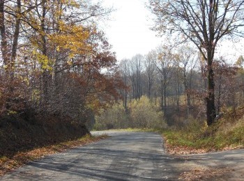
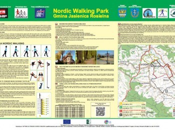
The longest, 14,4 km route marked with black signs, running through Jasienica Rosielna, Orzechówka and Blizne. A substantial section of the route overlaps the red route of Jasienica Rosielna Commune Nordic Walking Park. We leave the park following the pavement and then following a tarmac road pass the last buildings of Jasienica Rosielna. The surface turns into dirt and we start a steep climb. The green route, which has accompanied us from the beginning of the walk, turns left here. We walk straight on and reach Orzechówka. Having turned left, following a dirt road we reach a tarmac road, turn left and after 9 kilometres from the beginning of the walk join the red route. Following a path along the river Stobnica we reach the 15 th century historic church and presbytery complex in Blizne (on the UNESCO World Heritage List). Taking precaution we cross the road no. 886 twice and following the route`s signs, having walked 14 kilometres from the beginning of the walk, we close the black loop. The route is aimed at fit people.


