Do you have any questions? Would you like to suggest a new route? write to us or call: 600 990 181. We will be happy to answer your questions and suggestions.
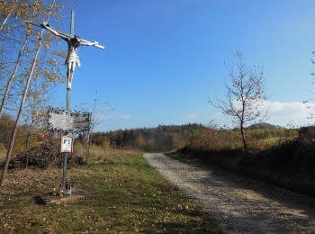
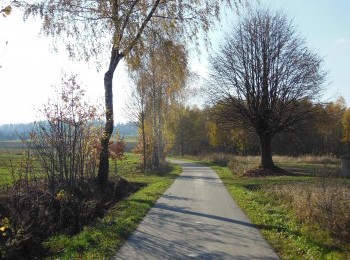
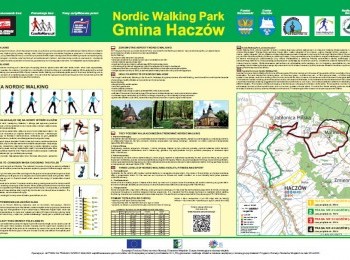
The longest, 13,8 km route marked with black signs. The black route largely overlaps the red route. We set off from the Fire Station in Jabłonica Polska and through Malinówka go back to Jabłonica. Up to the 7th kilometre the route overlaps the red route. By the routes junction the red route turns left and we go straight. One kilometre further we reach another route junction. From Orzechówka the red route and the green route of Brzozów Commune Nordic Walking Park join our route. We notice the cross commemorating Janina and Antoni Żubryd, murdered by UB (secret political police in communist Poland). We walk along the forest road and a kilometre further join the red route. We pass the Health care Centre and reaching the road connecting Jabłonica with Brzozów turn right. We still have 4 kilometres to walk. We pass the stadium, the Primary School and go back to the car park by the Fire Station, where we finish our walk. The route is aimed at fit people.


.jpg)
.jpg)
.jpg)
.jpg)


