Do you have any questions? Would you like to suggest a new route? write to us or call: 600 990 181. We will be happy to answer your questions and suggestions.
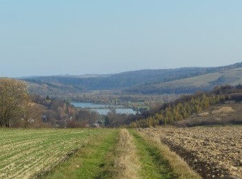
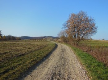
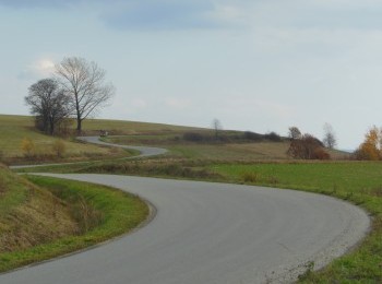
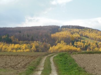
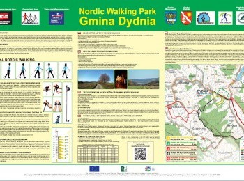
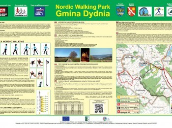
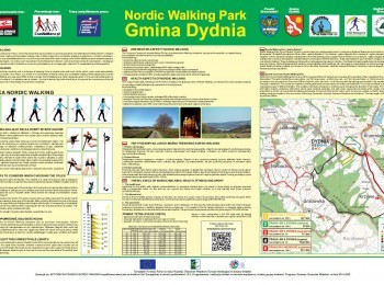
The longest, 15,4 km route marked with black signs crossing the Grabówka Range (528 m a. s. l.). We set off westward from the car park next to the Communal Office and after 400 metres turn left. Ahead of us a 4-kilometre climb with 200 metres altitude range. We will walk the next 4 kilometre along a dirt road in the Grabówka Range. We drop 130 metres on a short 1-kilometre section which will take us to the village of Krzywe and the road connecting Dydnia with Witryłów. A kilometre further we join the red route and turning left, along dirt roads go back to Dydnia. Due to the altitude range and the distance, as well as the lack of possibility of shortening the walk the route is aimed at fit people.


