Do you have any questions? Would you like to suggest a new route? write to us or call: 600 990 181. We will be happy to answer your questions and suggestions.
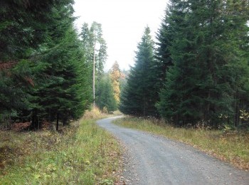
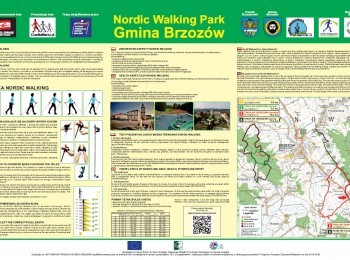
The longest, 17,6 km route marked with black signs. The initial 10 km of the route overlaps the red route of Brzozów Commune Nordic Walking Park. By the forest junction of the green, red and black routes we turn right. One kilometre further we turn right again and leave the forest. A beautiful panorama of the area of the village of Zmiennica comes into sight. We go downhill to the tarmac road connecting Brzozów with Malinówka. Taking precaution we walk along the side of the road for almost a kilometre and turn into the historic park in Zmiennica. We walk between primeval trees through the park, pass the 19 th century historic granary built in the Gothic revival style and behind the cemetery turn left into the forest. After 2 kilometres we cross the road from Brzozów to Zmiennica, join the green route and go down to the shelter in Brzozów-Zdrój. The route is aimed at fit people.


