Do you have any questions? Would you like to suggest a new route? write to us or call: 600 990 181. We will be happy to answer your questions and suggestions.
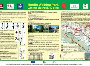
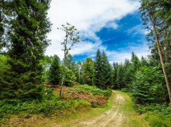
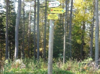
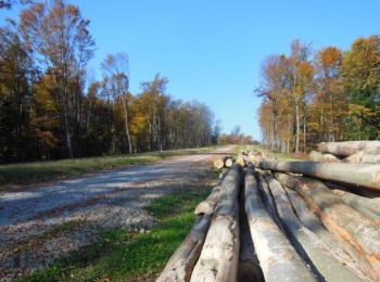
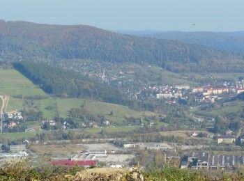
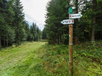
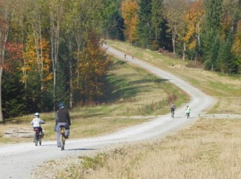
The longest route in Ustrzyki Dolne Commune Nordic Walking Park is a 13,9 km loop marked with black signs. The black route partly overlaps the green route and the red route. We go uphill following a dirt road and having reached the road running across the slope we turn left. Ahead of us a 5km walk on a straight road along the summit, with beautiful panoramas over the Bieszczady, Solińskie Lake and Myczkowiekie Lake. On the way we pass the summit of Holica (762 m. a. s. l.) and Żuków (768 m. a. s. l.), a vantage point (former glider airfield) with a beautiful panorama over the area and the watershed dividing the drainage areas of the Baltic Sea and the Black Sea. Following the route’s sign we turn left and go down to Równia. Having reached the tarmac road we turn left again and walk along a tarmac road between buildings. We pass the premises of the wood processing plant and having reached the dirt road in Ustjanowa turn left again. After 1km and having walked almost 14km from the beginning of the walk we close the black loop at the car park next to the Nordic skiing routes. The route is aimed at fit people, due to the distance and elevation gain.


