Do you have any questions? Would you like to suggest a new route? write to us or call: 600 990 181. We will be happy to answer your questions and suggestions.
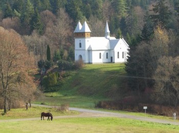
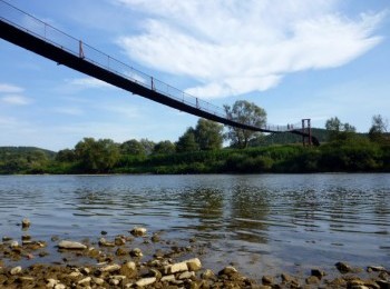
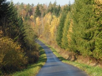
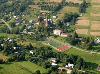
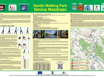
The longest route in Nozdrzec Commune Nordic Walking Park is a 36-kilometre loop marked with black signs, connecting Nozdrzec with Ulucz. Taking precaution we walk south along the road no. 835 and having walked 3 kilometres we reach the village of Wara. We turn left and after a while we come across a great attraction. We will walk along a footbridge of impressive size over the river San. One kilometre further, in the village of Siedliska, the black route splits to go in a 27-kilometre loop and come back to the same place. Following the route`s signs we turn right and start a 12-kilometre walk along the right bank of the river San. The surface changes several times from tarmac to dirt, and we walk along the wide road until we reach Ulucz. The village is famous for its beautiful 17 th century wooden orthodox church of Ascension, located on top of Dębnik hill. At the church cemetery there is a grave of Mychajło Werbycki, the composer of Ukrainian national anthem. We cross the bridge over a stream flowing from the Krztów Range. 3,5 kilometres further we reach the point, where we can go down to the road connecting Siedliska with Ulucz. The connecting route marked with yellow route is an alternative for those who plan to start their walk from the car park by the orthodox church in Ulucz. We walk on and after 31 kilometres from the beginning of the walk close the loop in Siedliska. We cross the river San again along the footbridge in Wara and turning right go back to Nozdrzec. The route is recommended for fit people and also as an interesting cycling route.


