Do you have any questions? Would you like to suggest a new route? write to us or call: 600 990 181. We will be happy to answer your questions and suggestions.
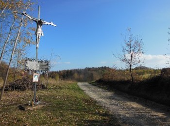
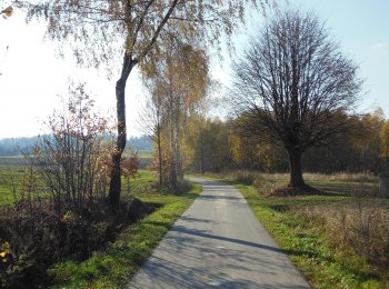
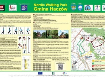
A demanding, 13-kilometre route which will take over 2 hours to walk. Having done the warm-up we set off from the Fire Station in Jabłonica Polska. Initially the route overlaps the black route. Following the route`s signs we pass the Primary School in Jabłonica Polska and reach the sports stadium. Following the roadside we reach the village of Malinówka, where we turn right to the hamlet of Koźliniec. We walk in a semi-circle and by the cemetery in Malinówka cross the road. Following the excellent quality tarmac road we go up to the junction of the routes, where we turn left and the black route goes straight north. Following the picturesque route we reach the Health care Centre in Malinówka. Here we join the black route of Haczów Commune Nordic Walking Park again. After a short walk and having reached the road connecting Jabłonica with Brzozów we turn right. We go back to Jabłonica and having walked 13 kilometres from the beginning of the walk we finish our walk by the Fire Station.


.jpg)
.jpg)
.jpg)
.jpg)


