Do you have any questions? Would you like to suggest a new route? write to us or call: 600 990 181. We will be happy to answer your questions and suggestions.
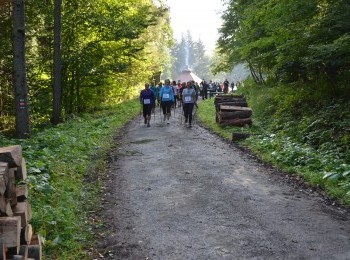
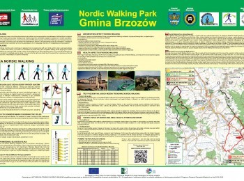
A demanding route forming an over 12 km loop which will take about 2 h to walk. Having done the warm-up we set off. Initially the route overlaps the green route and on a long section the black route. Following the route`s signs we walk uphill and downhill along a firebreak. We pass the information boards on the educational path of Brzozów Forestry Inspectorate and after 3,5 km leave the forest along a tarmac road. We walk along an excellent quality tarmac road through Wola Orzechowska and having reached the crossroads turn left. A kilometre further the tarmac road ends and we enter the forest and walk on along a dirt footpath. On the edge of the forest we come to the cross commemorating Janina and Antoni Żubryd, murdered by UB (secret political police in communist Poland). Here we turn left. We walk along a dirt road for a while and following the route`s signs turn left entering the forest again. We pass forest storage reservoirs and reach the junction of the routes by the educational path, where we turn right. We climb steeply for 500 m and having walked over 12 km we finish our walk.


