Do you have any questions? Would you like to suggest a new route? write to us or call: 600 990 181. We will be happy to answer your questions and suggestions.
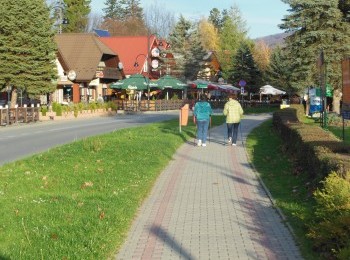
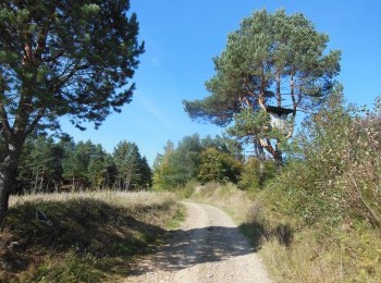
Having done the warm-up suggested on the information board we set off from the centre of Polańczyk. Initially the route overlaps the black route. Following the pavement along Zdrojowa Street we go up to the crossroads, where we turn right. We walk along the road no. 894 to Myczków and by the church turn left. We walk for several minutes along a tarmac road between buildings and join the black route again. After a while we pass the last buildings and enter the forest. Following a dirt road we walk for about 2km and reach the first buildings of Polańczyk. Along an excellent quality tarmac road we go down and passing the building of the Communal Office reach the crossroads. Taking precaution we cross the road no. 894 and going down along the pavement after 800m reach the starting point.


