Do you have any questions? Would you like to suggest a new route? write to us or call: 600 990 181. We will be happy to answer your questions and suggestions.
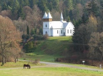
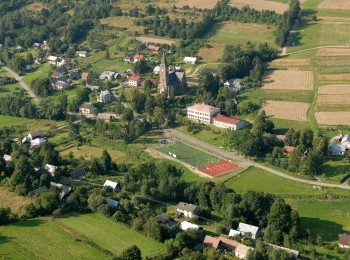
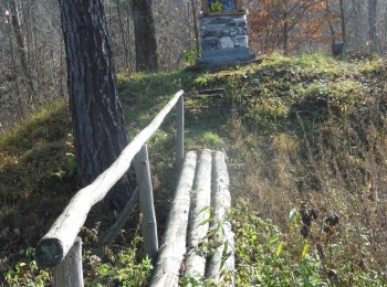
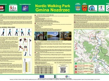
A demanding 9,6 km loop. Having done the warm-up we set off. Initially the route overlaps the green route. The green route turns right towards the church and we turn left. Following a dirt road among fields we walk west. After 2 kilometres from the beginning of the walk we turn right and head for the landslide on Chełm mountain (379 m a. s. l.) visible in the distance. Ahead of us a steep descend – on a 700-metres section we drop 100 m! Having reached the road connecting Nozdrzec with Hłudno we cross it taking precaution and start climbing the steep slopes of Chełm mountain along a dirt road. We pass miniature shrines – stations of the Cross – and along a dirt road we walk 3,5 km between fields. We reach the road again and turn left. We follow the pavement between buildings and after a few minutes reach A. Fredro Primary School in Nozdrzec, where we close the red loop.


