Do you have any questions? Would you like to suggest a new route? write to us or call: 600 990 181. We will be happy to answer your questions and suggestions.
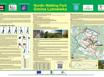
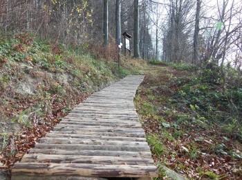
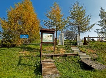
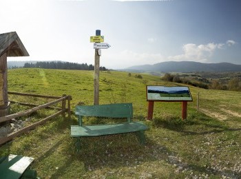
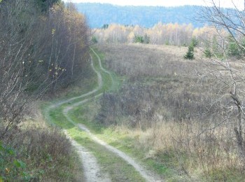
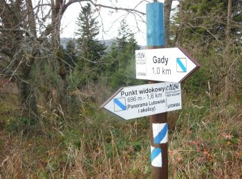
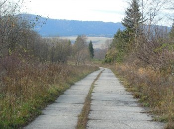
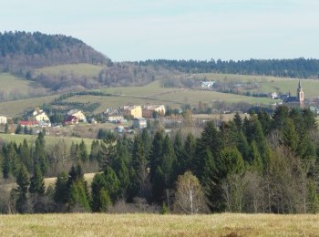
The longer route in Lutowiska Commune Nordic Walking Park is a 11,6 km loop marked with black signs. The black loop partially overlaps the green loop. We set off from the car park next to the church in Lutowiska and passing the centre of Lutowiska turn right into the road leading to the Jewish cemetery. We go up to the first vantage point on the route, with a beautiful view over the Bieszczady. After a while the green route and the black route split. We turn right and after 500 m, following the route`s signs, turn left. Following a dirt road we walk to the road no. 896, cross it and turn left into the footpath running below the road. After a while we reach another vantage point. Thanks to the board with a panoramic photograph of the view we can locate and name the visible ranges and summits. We go back several metres and turning left along a dirt road set off westward. We walk towards Otryt visible in the distance and after 2,5 km reach the so called film road. The road constructed in 1970s was used by Jerzy Hoffman`s film crew, who, when making `Pan Wołodyjowski` located Chreptiów here. Alongside Otryt Range we go down to Lutowiska and between the buildings reach the Bieszczady` Major Ringroad, where we turn left. After an almost one kilometre we finish our trip at the car park next to the church in Lutowiska. The route overlaps the communal educational trail called `Three Cultures`, which is a very good example of how to combine nature protection with cultural heritage and local identity.


