Do you have any questions? Would you like to suggest a new route? write to us or call: 600 990 181. We will be happy to answer your questions and suggestions.
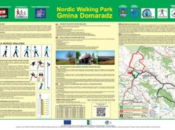
A demanding 12-kilometre loop which will take about 2 hours to walk. Having done the warm-up we set off. Initially the route overlaps the green route. Following the pavement along the road no. 19 we walk towards Lutcza. Having walked almost 3 kilometres we turn right and following a tarmac road between buildings walk north. After 4 kilometres from the beginning of the walk we reach the hamlet of Zatyle. The tarmac road leads to the forest. Ahead of us a 2-kilometre climb with the altitude range of over 100 metres. After 6 kilometres from the beginning of the walk we reach the road no. 884, where we turn right. Look out! Ahead of us a one-kilometre walk along a busy road connecting Domaradz with Przemyśl. Following the route`s signs we turn left into a dirt road and walk almost 1,5 km. At the crossroads we turn right and following a steep road we go down to Domaradz. We cross the tarmac road from Golcowa to Domaradz, cross the river Golcówka and join the black route. Along a short section of the tarmac road we reach the junction of all the routes in Domaradz Commune Nordic Walking Park. We go south, cross the bridge on the river Stobnica and between the buildings of Domaradz we reach the road no. 19. Along a short section of pavement we reach the centre of Domaradz, where we turn left. After a while and having walked 12 kilometres from the beginning of the walk we close the red loop at the market square next to the stadium.


