Do you have any questions? Would you like to suggest a new route? write to us or call: 600 990 181. We will be happy to answer your questions and suggestions.
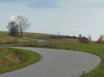
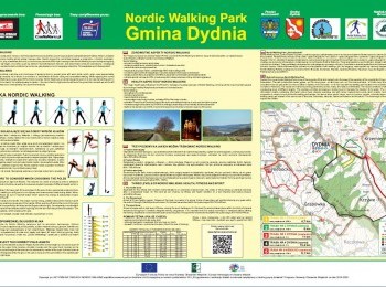
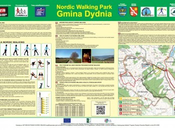
The shortest route in Dydnia Commune Nordic Walking Park is a 5,4 km loop marked with yellow signs. Having done the warm-up we set off from the car park next to the Communal Office in Dydnia. Initially the route overlaps the black route and virtually the whole route is `inscribed` in the green route of Dydnia Commune Nordic Walking Park. Having walked 400 metres along the road no. 835, which connects Grabownica Starzeńska with Dynów, we turn left. Along an excellent quality tarmac road we reach the crossroads. The black route goes further uphill up to the Grabówka Range (528 metres a.s.l.) and the yellow route and green route turn left. Following dirt roads and tarmac roads we walk between buildings and crossing the bridge over the stream Świnka go back to the road no. 835, where we turn left. Following the pavement along the road we walk back to the Communal Office, closing the yellow route.


