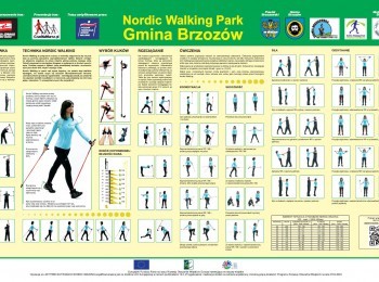
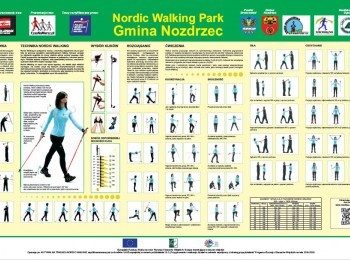
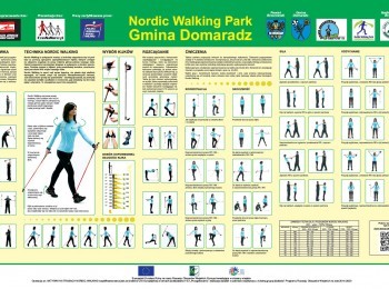
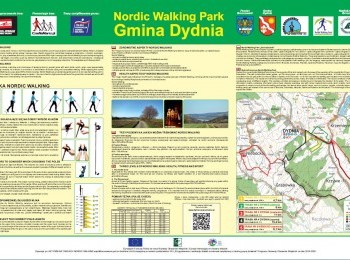
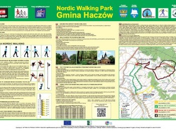
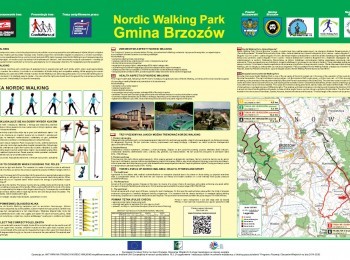
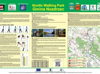
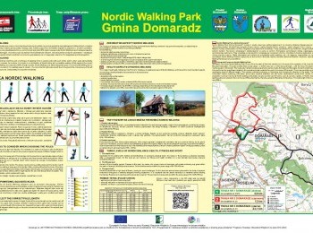
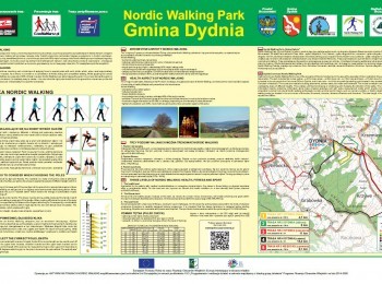
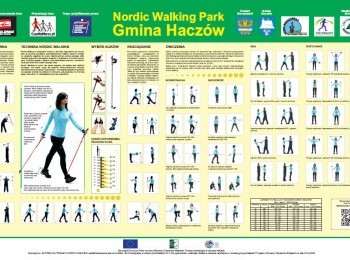
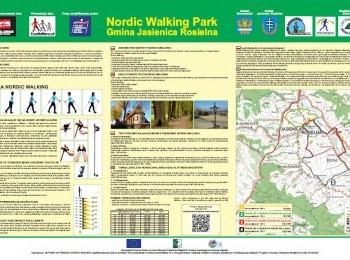
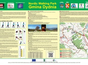
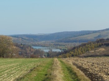
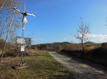
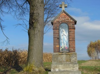
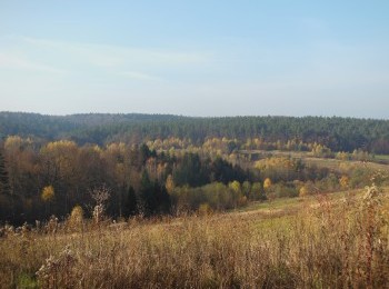
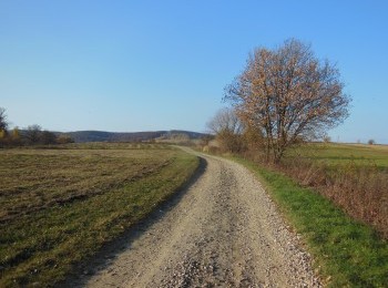
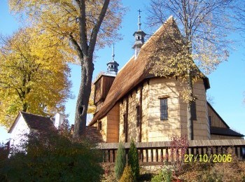
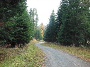
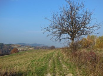
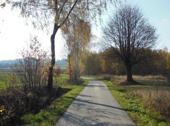
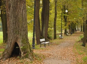
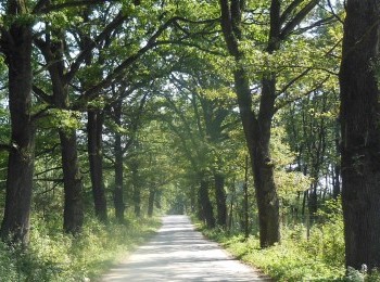
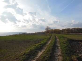
 A Nordic Walking Park is a network of routes of varying difficulty, which are intended both for people starting their adventure with nordic walking, as well as for those who are looking for sports challenges. Most of the routes were created as part of the cooperation project entitled Southern Subcarpathia Nordic Walking Park, implemented in 2014-2015 as part of the „Implementation of cooperation projects” measure covered by the RDP for 2007-2013 with the involvement of three local action groups from Podkarpacie - „The New Galicia” LAG, „The Land of Brzozów” LAG and „The Green Bieszczady” LAG. The development of routes and sports and recreation infrastructure located along these routes took place as part of the cooperation project entitled "Being active on nordic walking routes”, carried out by two local action groups: "The Green Bieszczady" LAG and "The Land of Brzozów”. The Nordic Walking Parks are located in 13 communes: Brzozów, Domaradz, Dydnia, Haczów, Jasienica Rosielna, Nozdrzec, Czarna, Lutowiska, Olszanica, Sanok, Solina, Tyrawa Wołoska and Ustrzyki Dolne. Each Nordic Walking Park includes routes that have common points, overlap, or intersect. This enables unrestrained lengthening, shortening, or changing the direc_on of the march. The routes are marked with clearly written information boards, compliant with European standards for nordic walking recreation. These boards also contain detailed maps, general information on the technique, selection of equipment and health benefits of nordic walking. The boards also contain information on basic physical exercises, enabling warm-up, muscle strengthening and stretching exercises. The offer of Nordic Walking Park is addressed not only to nordic walking enthusiasts, but also to lovers of other disciplines, such as running or nordic skiing.





.jpg)
.jpg)
.jpg)
.jpg)
